
Johnston Previous Resident Sources
No single record lists every person who lived at a Johnston address. Current parcel data identifies the land, recorded instruments show transfers, directories and census schedules place households in time, and permits describe work on the structure. Keep those claims distinct. An owner may never have lived there, and a directory resident may never have held title.
| Source | Years covered | Where held | Evidence supplied |
|---|---|---|---|
| Polk Recorder online index | 1992-present | Recorder eSearch | Parties, instrument, date, and deed references |
| SHSI deed indexes | 1846-1901, by series | State Historical Society | Land-entry, deed, and town-lot leads |
| Polk County directories | 1866-1922 online, discontinuous | Des Moines Public Library | Name and address at publication time |
| Federal census | Public named schedules through 1950 | National Archives and library databases | Household and place context |
| Johnston building reports | Development summaries from 2013 | City Building Department | Dated work and permit evidence |
For recent previous residents, begin with the assessor and newest deed. For an early farm or town lot, the legal description, plat, old place name, and archive series will matter more than modern street text.
Anchor Johnston Resident History
The Polk County Assessor is the practical first stop. Search the current address, then preserve the parcel number, situs address, mailing address, legal description, owner field, and assessment date. The situs address identifies the parcel's location. The mailing address may belong somewhere else. That difference prevents a common mistake in previous residents research.
The Polk County property search accepts owner, address, plat, district or parcel, and geoparcel terms. If the full address fails, try the house number and street name separately. Wildcards and ranges can help, but save the exact query and access date because Polk announced a 2026 transition to a new assessor vendor.
Insider tip. Save the parcel number before opening the deed index; street wording changes more often than the land identifier and legal description.
GIS, Auditor atlas, and Treasurer records add map, transfer, and tax context. They do not replace the recorded deed. A current owner match is the starting point, not proof of every past household.
The Auditor tracks transfers for tax purposes, including deeds, contracts, and right-of-way easements. Its Real Estate Atlas groups owners and addresses, land records, valuation, and taxation. The Treasurer can confirm a parcel tax account and payment history. Preserve their dates and labels, but return to the Recorder for the legal instrument that supports a transfer.
Trace Johnston Residents Through Deeds
The Polk County Recorder search route covers online real-estate records from 1992 forward. Its name search uses last or firm name, first, middle, title, party role, date, index type, group, and kind. A result may show recording and instrument dates, document kind, indexed names, remarks, file number, book and page, amount, and image count.
- Copy the current parcel number, legal description, owner, and address from the assessor card.
- Find the newest purchase deed and save both parties, the instrument number, recording date, and prior reference.
- Search the seller as a prior grantee, then compare the legal description before accepting the match.
- Repeat until the online chain ends or a probate, sheriff, tax-sale, or other transfer changes the route.
- Take the older book, page, names, and land description to Recorder Imaging/Microfilm or SHSI.
- Grantor
- The party conveying an interest in the land.
- Grantee
- The party receiving that interest.
- Chain of title
- The linked sequence of recorded transfers for the same land.
- Legal description
- The formal parcel description in the record, often more durable than a street address.
Iowa Land Records is a parallel statewide route for available instruments. The Recorder counter, Imaging/Microfilm at 515-286-3175, and a focused Chapter 22 request are the fallbacks when the web index fails.
Johnston Records Before 1992
The online cutoff does not end the trail. The State Historical Society's Polk holdings list original Recorder entries from 1846-1855, a Deeds-Lands index from 1848-1901, and a town-lot index from 1851-1901. Mortgage, tax-sale, sheriff's deed, probate, plat, and farm-name series may explain breaks that do not look like ordinary sales.
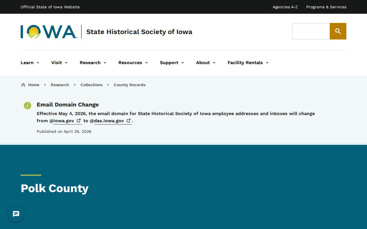
The archive page helps select a record group before contacting the research center. Search the Farm Names Register, covering 1911-1978, when an old rural parcel has no street number. Plat books and the legal description can then bridge that farm name to later records.
Probate files can show why property changed hands after a death. The Polk index records a case number, names, executor, administrator or guardian role, filing date, missing-file marker, and roll number. Match the probate record with the deed and legal description. A name in probate is a case relationship, not automatic proof that the person occupied the house.
Place Past Johnston Households
Ownership is only half the previous residents question. Des Moines Public Library's Polk County directories place names at addresses in selected years from 1866-1922. Printed directories continue from 1910 to the present, microfilm covers 1866-1935, and telephone books start in 1957. The online run has gaps, and no official Johnston-only reverse directory was found.
Use the Johnston city directory collections for publisher and shelf details, then build the household chain:
- Search the resident's name and historic place labels, including Johnston Station.
- Save the exact directory year, publisher, page, abbreviation, and address.
- Check the street guide, but treat nearby entries as leads rather than a full block roster.
- Pair the result with the nearest public census year and preserve its place or township label.
- Use newspapers, obituaries, probate, and deeds to explain arrivals, departures, or name changes.
The latest public individual federal census is 1950 under the 72-year rule. A census household can support residence and family context. It does not establish title. A directory can place a person at publication time, but it does not prove how long the person stayed.
Johnston Resident History That Moved
The Simpson House and Barn show why structure history and parcel history can split. The Johnston Station Historical Society traces the Bauman family to an 1854 move, the John H. Bauman house to completion in 1902, and the clay-tile barn to a 1936 rebuild. In 2001, the house and barn moved to Johnston Commons.
The Historical Society history gives the dated framework for that search.
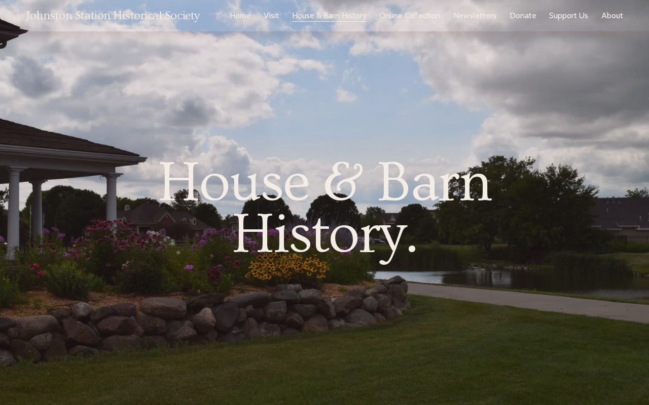
The image captures the local-history source, but its story is not a complete occupant roll. Test the names and dates against deeds, directories, newspapers, permits, and maps. Always note whether a record describes the original site, the structure, or its current location.
This example also warns against reading today's Johnston map backward without a date. Beaver Creek Settlement, Ridgedale, Huntsville, Johnston Station, Garlock's Corner, and current Johnston can all be useful labels in different periods.
Map Gaps in Johnston Records
Fire-insurance maps can show footprints, building use, construction detail, street labels, and edition dates. The Library of Congress Sanborn guide explains searching by state, city, edition, date, sheet, place, and notes.
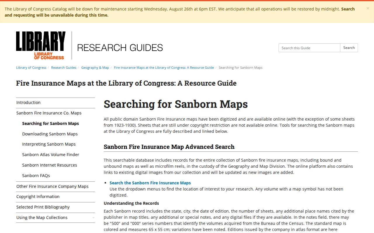
No verified Johnston-specific Sanborn sheet was found. Do not substitute a Des Moines sheet unless the property was inside that mapped area for the edition date. When Sanborn coverage fails, compare the Polk Auditor road right-of-way atlas, SHSI plats, Recorder legal description, current GIS, and historical place names.
Boundary changes also matter. Johnston incorporated in 1969, reached an annexation agreement with Urbandale in 1970, and added 1,461 acres in 2018. A modern city address can have an older rural or institutional trail. Northwest addresses also changed from a Grimes 50111 line to Johnston 50131 in 2017, so keep both versions when searching dated sources.
The Polk road atlas can be searched by township and range, while historic right-of-way books cover county road establishment, change, or vacation from 1847-1958. Those sources can explain why a legal description survives even when the road label does not. Johnston GIS staff also maintain E911 addresses and city map products; data questions route through Community Development at 515-727-7778.
Finish Johnston Previous Resident Trails
Johnston building reports add dated physical events. Monthly and year-to-date PDFs, plus development summaries from 2013 onward, may show new construction, additions, decks, fences, and other work by address. A permit can date a change, but it does not prove who lived there. Requests may also go to City Hall by email, mail, drop-off, or a focused public-record request.
Obituaries and probate files can explain why a household ends or title passes. DPL's Register obituary index covers 1960-2020, while newspaper routes include older full text and separate Tribune and Iowa Bystander runs. Cemetery research can begin with Johnston's named Kinsey-Lawson, Ridgedale, Rittgers, and Valley View cemeteries, though no official citywide interment search was located.
Label every hit as owner, grantor, grantee, directory resident, census household member, probate party, permit contact, or newspaper subject. That practice keeps previous residents research honest and makes the chain reproducible.
Lawful use. Research past Johnston residents for family or house history, and never use a record trail to track, harass, or harm a living person.