
Sources That Place Johnston Neighbors on a Block
The public record describes land and official relationships more reliably than it describes every household member. Start with the question, then choose the Johnston or Polk County source whose unit matches it.
| Block source | What it can show nearby | How to reach it |
|---|---|---|
| Polk Assessor and GIS | Adjacent parcels, situs addresses, parcel numbers, owners, legal descriptions | Online portal and map; assessor office fallback |
| Johnston GIS | E911 address, street and city-map context, infrastructure layers | City mapping page or Community Development |
| Iowa election records | One supplied registration/address match or a lawfully requested list | Individual lookup or certified list-request channels |
| City association inventory | Named association areas and listed contacts | Johnston city page; contact the group directly |
| Historic maps and guides | Earlier roads, plats, place names, and dated printed associations | Auditor atlas, SHSI, Johnston and Des Moines libraries |
An assessor owner may receive tax mail elsewhere, and the current occupant may not appear. Association membership and voter data have their own limits. Record the exact relationship instead of labeling every name a resident.
Map Johnston Neighbors Parcel by Parcel
An adjacent-parcel search begins from one confirmed situs address. The map supplies geometry; the assessor card and recorded instrument supply the details behind it.
- Locate the target address in Polk County GIS or the Real Estate Atlas and save its parcel number.
- Capture at least two parcels around it, their frontage, situs addresses, legal descriptions, and the visible layer date.
- Open each assessor record and keep situs and mailing addresses separate. Do not infer occupancy from ownership.
- Check the city association page for community context, not as proof of a legal boundary.
- Use the Recorder instrument when the question concerns the named owner's legal relationship to the land.
For a full named road instead of the immediate radius, follow the Johnston street directory workflow. The block method intentionally stops after the nearby parcel set.
Privacy Boundaries for Johnston Neighbors
Public parcel ownership does not reveal every occupant, family relationship, or daily routine. Utility and delivery data are not block directories. Iowa Safe at Home provides substitute addressing, mail forwarding, confidential voter registration, and confidential absentee voting for eligible survivors. A blank result may be intentional.
Lawful use. Research Johnston neighbors for civic, historical, reconnecting, or personal safety purposes. Never use a lookup to watch, stalk, harass, intimidate, or harm anyone.
Publish the minimum facts needed for the task. Avoid full birth dates and unnecessary complete addresses in research notes, even when an official form required them.
Johnston Neighborhood Associations Add Community Context
The Johnston Neighborhood Associations page names several areas and provides current contact routing. An association label is a community layer, not a parcel, ZIP, or precinct boundary.
| Named Johnston area | Verified source | Best contact route |
|---|---|---|
| Glenstone Ridge | City association inventory | Use the current link or contact listed by the city |
| Green Meadows West | City association inventory | Use the current link or contact listed by the city |
| NorthGlenn | City association inventory | Use the current link or contact listed by the city |
| Rittgers Oaks | City association inventory | Use the current link or contact listed by the city |
| Other neighborhood, townhome, and condominium groups | City association inventory | Confirm group type and current details on the live page |
The captured City of Johnston neighborhood association inventory is useful for names and routing, while the live page controls when contacts change.
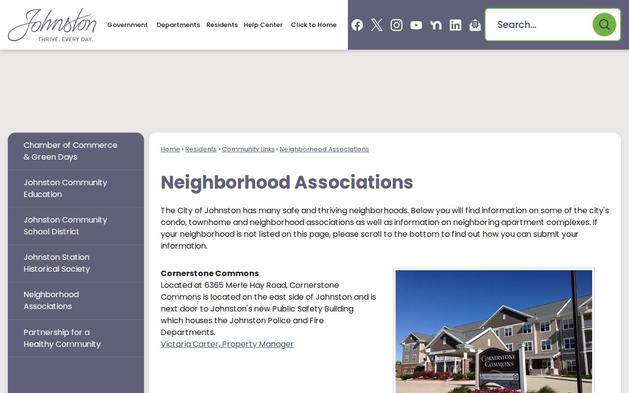
Pair the community name with an assessor parcel or city map whenever the exact location matters.
What a Johnston Block Means Depends on the Record
A "block" may mean a row of adjacent parcels, a subdivision block and lot, a Census statistical block, or an election precinct area. Johnston's sources do not combine these into one master neighborhood database.
Land and community units. Use GIS geometry for adjacent land, a recorded plat for subdivision blocks, and the city inventory for association labels.
Statistical and election units. Use the geography named in a Census table and the official precinct or polling result for voting. Neither should be inferred from a ZIP.
Units can overlap while producing different answers. Label the exact type beside every result about Johnston neighbors.
Johnston Neighbors Are Not a Free Voter Map
The Iowa Secretary of State individual lookup asks for first name, last name, ZIP, numeric house number, and birth date. It checks one supplied combination and polling information. It does not expose every registered voter around a Johnston block.
A separate voter-list request must state the requestor, purpose, jurisdiction, list type, party or status choices, and delivery format. Iowa permits voting, genuine political, bona fide research, or official uses and bars commercial use. Requests can route through the Secretary of State form, voterlist@sos.iowa.gov, 515-281-0145, mail, fax, or the Polk Election Office at 2309 Euclid Avenue. The office can also resolve precinct and polling questions.
Official Rolls and Commercial Neighbor Tools Differ
Both categories can return names, but their evidence and limits are not the same. A useful comparison focuses on provenance rather than the size of the result.
| Question | Official Johnston or Polk source | Commercial category |
|---|---|---|
| Who keeps the data? | A named public office with a defined record duty | Private compiler drawing from mixed sources |
| What does the name mean? | A stated role such as owner, instrument party, or supplied voter match | Relationship may be inferred or unclear |
| How current is it? | Assessment, recording, map, request, or access date can be saved | Update timing may not be clear |
| How is an error checked? | Return to the assessor, Recorder, GIS desk, or election office | Correction path varies by service |
Official records are often narrower, yet that narrowness makes the claim easier to verify. Commercial breadth does not turn an owner name into proof of present occupancy.
ZIP and City Lines Can Split Johnston Neighbors
A nearby parcel may carry a different mailing city, ZIP, tax district, association label, or old place name. Northwest Johnston changed from Grimes 50111 to Johnston 50131 in 2017, and the city added 1,461 acres in 2018. Those events make a mismatch plausible without making all boundary systems equivalent.
For an edge parcel, compare three concepts: the city corporate limit on the March 2026 map, the USPS delivery result, and the assessor situs. Add the Auditor road atlas or an older plat for historical context. This date-aware method is stronger than searching Johnston neighbors by ZIP alone.
Camp Dodge Changes North Johnston Map Context
City history identifies Camp Dodge as a training site since 1908 and places about 4,500 acres in north Johnston. The city street map shows it as a major facility, not as an ordinary residential subdivision. A nearby road or parcel should therefore be interpreted with the corporate-limit and institutional context visible.
Beaver Creek, Garlock's Corner, Johnston Station, Corteva research fields, and the Saylorville/Highway 141 corridor are also map anchors rather than household lists. Use each as a search label for maps, plats, or local history, then return to the actual parcel when the question concerns neighbors.
Johnston Commons Holds a Moved History Clue
The Johnston Station Historical Society says the Simpson House and Barn moved to Johnston Commons in 2001. Its history reaches through a house completed in 1902 and a barn rebuilt with clay tile in 1936. That makes the site an unusual reminder that a structure's current neighbors need not be its historical ones.
Use the society's dates as leads, then test building reports, Recorder instruments, old roads, and directory years separately. A history page is not a complete occupant list, and a moved structure should not be treated as proof that its former parcel moved with it.
Where Johnston Block Questions Go Offline
When a dynamic map or current page is not enough, route the question by record type. Johnston Community Development handles E911 and mapping questions at 515-727-7778 from City Hall, 6221 Merle Hay Road. The Polk Assessor and Recorder offices in Des Moines handle parcel cards and recorded instruments.
Johnston Public Library at 6700 Merle Hay Road offers yearbooks back to 1928, newspapers, Iowa Digital Library, and local-history resources. Johnston Station Historical Society at 6161 Northglenn holds local artifacts and referrals. State Historical Society of Iowa holdings supply Polk plats and deeds for older geography. Call first and bring the parcel number, legal description, target dates, old place names, and a clear list of requested fields.